In the twelfth century the region around the mouth of the River Bourne was part of the Hundred of Holdenhurst. The hundred later became the Liberty of Westover when it was also extended to include the settlements of North Ashley, Muscliff, Muccleshill, Throop, Iford and Tuckton, and incorporated into the Manor of Christchurch. The first record of Bournemouth as a place name was in the 1300s when a monk noted a stranded whale at “La Bournemowthe”. The Christchurch cartulary of 1407 also uses this spelling. From the latter half of the 15th century “Bourne Mouth” seems to be preferred until the late 18th century when “Bournemouth” became predominant, although its two word form appears to have remained in use up until at least the early 20th century, turning up on a 1909 ordnance map.
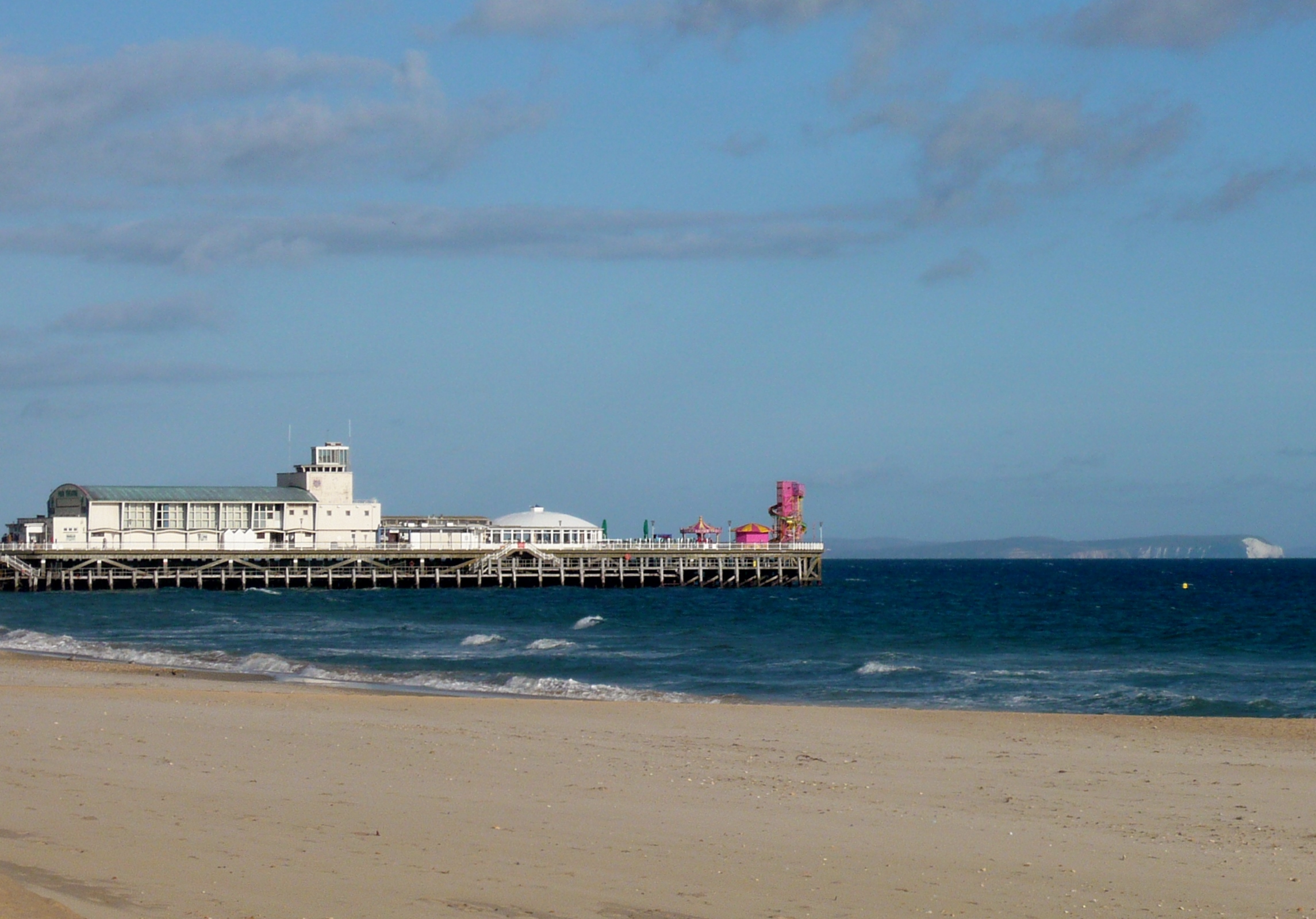
Bournemouth pier and Isle of Wight
Although the Dorset and Hampshire region surrounding it had been the site of human settlement for thousands of years, Westover was largely a remote and barren heathland before 1800. A skull thought to be 5,500 years old was found at Longham in 1932, indicating that Neolithic man had at least visited the area; there have been Bronze Age burials near Moordown, and the discovery of Iron Age pottery on the East Cliff in 1969 suggests there may have been a settlement there, but no-one lived at the mouth of the Bourne River and the only regular visitors until the 19th century, were a few fishermen, turf cutters and gangs of smugglers. During the Tudor period part of the liberty was used as a hunting estate, ‘Stourfield Chase’, but by the late 18th century little evidence of it remained, save for a few fields around the Bourne Stream and a cottage known as Decoy Pond House, which stood near the site of the present Square. During the latter half of the 16th century, James Blount, 6th Baron Mountjoy began mining for alum in the area now known as Alum Chine but this venture failed and he died penniless in 1581. In 1574, the Earl of Southampton noted that the area was, “Devoid of all habitation” and, as late as 1795, the Duke of Rutland recorded that “…on this barren and uncultivated heath there was not a human to direct us”.

Bournemouth Eye takes flight
Prior to the Christchurch Inclosures Act 1802, more than 70% of the Westover area was common land. The act together with the Inclosure Commissioners’ Award of 1805 transferred five thousands acres into the hands of five private owners including James Harris, 1st Earl of Malmesbury and Sir George Ivison Tapps. In 1809, the Tapps Arms public house appeared on the heath. A few years later, in 1812, the first official residents, retired army officer Lewis Tregonwell and his wife, moved into their new home built on land purchased from Tapps. The area would have been well known to Lewis who, during the Napoleonic wars, spent much of his time searching the heath and coastline for French invaders and smugglers. Anticipating that people would come to the area to indulge in the newly fashionable pastime of sea-bathing, an activity with perceived health benefits, Tregonwell built a series of villas on his land between 1816 and 1822, which he hoped to let out. The common belief that pine scented air was good for lung conditions, and in particular tuberculosis, prompted Tregonwell and Tapps to plant hundreds of pine trees. Although these early attempts to promote the town as a health resort were unsuccessful, by the time Tregonwell had died, in 1832, Bournemouth had grown into small community with a scattering of houses, villas and cottages. The town would ultimately grow up around the scattered pines and tree-lined walk to the beach, later to become known as the ‘Invalids walk’.
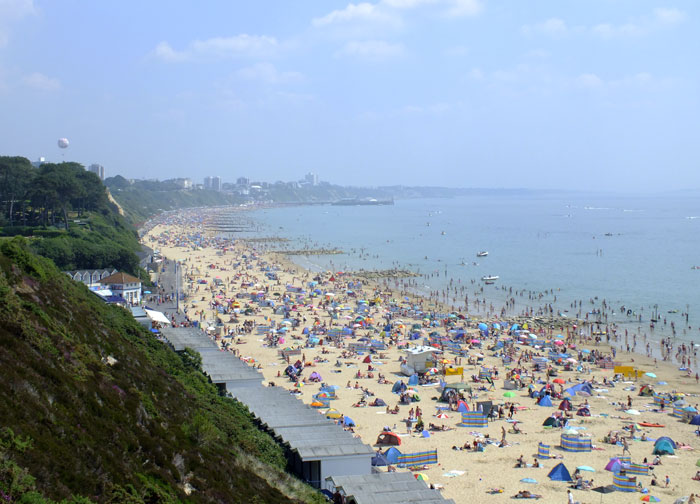
Summer beach
In 1835, after the death of Sir George Ivison Tapps, his son Sir George William Tapps-Gervis inherited his father’s estate. He hired the young, local architect, Benjamin Ferrey to develop the coastal area on the east side of the stream. Bournemouth’s first hotel, later to become part of the Royal Bath Hotel, opened in 1838 and is one of the few buildings designed by Ferrey still standing. Bournemouth started to grow at a faster rate as George William started developing the seaside village into a resort similar to those that had already grown up along the south coast such as Weymouth and Brighton. Despite enormous investment, the town failed to take off and so in 1841, Sir George invited the physician and writer Augustus Granville to stay. Granville was the author of The Spas of England, which described health resorts around the country and as a result of his visit, Dr Granville included a chapter on Bournemouth in the second edition of his book. The publication of the book, as well as the growth of visitors to the seaside seeking the medicinal use of the seawater and the fresh air of the pines, helped the town to grow and establish itself as an early tourist destination.
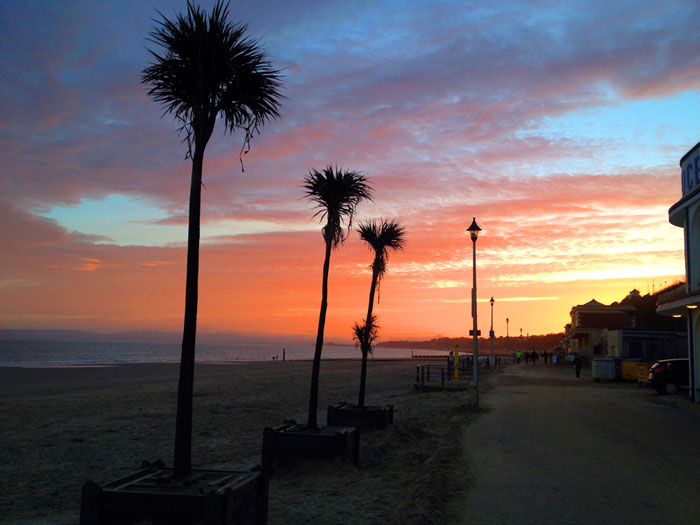
Twilight from Bournemouth Pier
In the 1840s Benjamin Ferrey was replaced by Decimus Burton, whose plans for Bournemouth included the construction of a garden alongside the bourne stream, an idea first mooted by Granville. The fields south of the road crossing (later Bournemouth Square) were drained and laid out with shrubberies and walks. Many of these paths including the ‘Invalids walk’ remain in the town today. A second suggestion of Granville’s, a sanatorium, was completed in 1855 and greatly raised Bournemouth’s profile as a place for recuperation.
At a time when the most convenient way to arrive in the town was by sea, a pier was considered to be a necessity. Holdenhurst parish council were reluctant to find the money however and an attempt to raise the money privately in 1847 had only succeeded in financing a small 100 feet (30 m) jetty. The Bournemouth Improvement Act of 1856, granted greater financial autonomy to the town and a pier was approved that same year. A number of wooden structures were built before a 838 feet (255 m) cast iron design by Eugenius Birch was completed in 1880. Under the Act, a board of 13 Commissioners was established to build and organise the expanding infrastructure of the town, such as paving, sewers, drainage, street lighting and street cleaning.

River Bourne

Russell-Cotes Museum
The arrival of the railways in 1870 allowed a massive growth in seaside and summer visitors to the town, especially from the Midlands and London. In 1880 the town had a population of 17,000 people but by 1900, when railway connections to Bournemouth were at their most developed, the town’s population had risen to 60,000 and had become a favourite location for visiting artists and writers. The town was improved greatly during this period through the efforts of Sir Merton Russell-Cotes, the town’s mayor and a local philanthropist, who helped establish the town’s first library and museum. The Russell-Cotes Art Gallery & Museum was housed in his mansion and after his death it was given to the town. Bournemouth became a municipal borough in 1890 and a county borough in 1900.
As Bournemouth’s growth increased in the early 20th century, the town centre spawned theatres, cafés, two art deco cinemas and more hotels. Other new buildings included the war memorial in 1921 and the Bournemouth Pavilion, the town’s concert hall and grand theatre, finished in 1925. The town escaped heavy bombing during the Second World War but the sea front incurred great damage when it was fortified against invasion. The cast iron lamposts and benches along the front were removed and melted down for munitions as was much of the superstructure from both Bournemouth and Boscombe piers before they were breached to prevent their use by enemy ships. The large amounts of barbed wire and anti tank obstacles along the beach, and the mines at the foot of the chines, took two years to remove when peace was finally achieved.
The Royal National Lifeboat Institution stationed an inshore lifeboat at Bournemouth in 1965 but it was withdrawn in 1972. Coverage for the area has otherwise been provided from Poole Lifeboat Station A large conference and exhibition centre, the Bournemouth International Centre, was constructed near the seafront in 1984 and in 1985 Bournemouth became the first town in the United Kingdom to introduce and use CCTV cameras for public street-based surveillance.
MORE RECENT TIMES
The Waterfront complex which was intended to hold an Imax cinema was constructed on the seafront in 1998 and was demolished in spring 2013. The 19M (62 ft) high, concrete and smoked glass building featured a wavy roof design but was despised by residents and visitors alike because it blocked views of the bay and the Isle of Purbeck. In 2005 it was voted the most hated building in England in a 10,000 people poll conducted by the Channel 4 programme, ‘Demolition’. The site is to be used as an outdoors event arena, the council still plan on a larger redevelopment of the site and adjoining council land in the long term. Bournemouth chines east of Poole include Alum Chine, Middle Chine and Durley Chine.
Courtesy Wikipedia
————————————————————————————————————————
This article requires original/updated content. If you are a local historian who may like to contribute please contact Chineland.com via the Contact form.